The area known as East Brisbane originally came about in the late 1800s when a “workers settlement” grew at the end of Kangaroo Point on the eastern edge of South Brisbane. During this time Brisbane Town was expanding and a number of satellite districts were being developed. Along with other pioneering districts the area known as Mowbraytown was ultimately absorbed into the comprehensive name of East Brisbane.
Mowbraytown History
Thomas Mowbray was born to Matthew Mowbray, an ironmonger and his wife Jane (nee Miller) in 1812, at Hamilton, Lanarkshire, Scotland.
He entered the University of Glasgow in 1829 and graduated with an M.A. in 1834. He became the assistant to Rev. Dr. Keith in Hamilton and later ordained as minister of the Quoad Saera Church at Blackridge.
He married Williamina Anderson at West Colinton (Edinburgh, Scotland) on 17th August 1841.

They had nine children, all born in Australia: Elizabeth (b. 1842), Jane (b. 1844), Margaret (b. 1846), Thomas (b. 1848), Matthew (b. 1850), Ada (b. 1853), John (b. 1855.), James (b. 1857) and Mabel (b. 1860).
For the sake of his health, they emigrated to Australia, arriving in 1842. For three years, Thomas Mowbray was minister at Campbellfield in the Port Phillip district of the colony of NSW, but due to his ill health moved further north to Sydney. During the next two and a half years his health deteriorated further and in 1847 they moved north again to Moreton Bay.
From the time of his arrival in Moreton Bay he was active in establishing a Protestant church. Differences in doctrine lead to separate churches and he then worked on several committees to establish a Presbyterian Church. These early churches were based on the northern side of the Brisbane River. Services on the southern side were taken by a minister who was rowed across the river.
Rev. Mowbray purchased land on the southern side of the Brisbane River, opposite New Farm. He built a stone house called Riversdale (c.1850) and conducted a school there. This area is still named Mowbray Park. With a growing congregation on the south side of the river, he saw the need for a church with its own minister and began to work towards achieving this.
Because of his involvement he is referred to by many historians as the Father of Presbyterianism in Queensland.
He died on the 24th December 1867 at the age of 55.
The district name of Mowbraytown originated in 1884 when Williamina Mowbray, the wife of the late Rev Thomas Mowbray, sold the land between Lytton Rd and Mowbray Terrace to Josiah Young who subdivided this area into 336 residential allotments. This area then became known as the Mowbraytown Estate. Mowbray Park retained its name on the river side of Lytton Rd.
Williamina later donated land in Mowbray Terrace for the building of the Mowbraytown Church and Hall. His children were active members of its congregation in its early years.
The area known as East Brisbane originally came about in the late 1800’s when a “workers settlement” grew at the end of Kangaroo Point on the eastern edge of South Brisbane. During this time Brisbane Town was expanding and a number of satellite districts were being developed. Along with other pioneering districts the area known as Mowbraytown was ultimately absorbed into the comprehensive name of East Brisbane.
Geraint Gregory

Some areas of Brisbane have lovely creative, or even poetic names - the inner city suburb of East Brisbane probably isn't one of them.

 "It obviously got its name because of its locality," says Brian Randall from the State Library of Queensland. "Very early in the piece, when Brisbane was settled, East Brisbane was obviously the area to the east of the main settlement, so that's how it got its name."

One of the earliest settlers in that area was the Reverend Thomas Mowbray, who arrived in 1847, and became known as the father of Presbyterianism. In 1851, he opened Brisbane's first Presbyterian Church in Grey Street, South Brisbane.

Also in 1851, Reverend Mowbray purchased 13 acres along the riverfront, which later developed in the area known as 'Mowbraytown'. It was when Reverend Mowbray's wife Wilhemina Mowbray died in 1884 that a large part of the estate was subdivided and it becamed known as Mowbraytown.

Now Mowbray Park still sits on that area, and the family name is also honoured in the local Mowbray Terrace. There is also a Wilhemina Park which is at the corner of Mowbray Terrace, Northcote and Heidelberg Streets, which was known locally as 'No Name' park for a long period, before it was named 'Wilhemina' (Williamina ) Park in 1997.
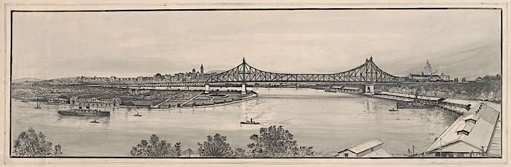
Some significant dates:
1850 - original survey of the area by James Warner
1851 - Rev. Thomas Mowbray purchased 13 acres along the riverfront which later developed into the area known as Mowbraytown
1855 - first bridge across the mouth of Norman Creek 1885 - Mowbraytown Presbyterian Church
1888 - East Brisbane Uniting Church - Norman St. The first services were held in a former butcher's shop in Didsbury St with the present site being purchased in 1889 1899 - East Brisbane State School. Adjacent to the Gabba Cricket Ground   1905 - East Brisbane Bowls Club; East Brisbane Croquet Club
1916/17 - Brisbane's earliest First World War memorial erected in Mowbray Park 1917 - St. Benedict's Catholic Church, Mowbray Terrace

from: ABC Local History http://www.abc.net.au/local/stories/2006/09/29/1750915.htm
View of the progress of the suburb as reported in The Telegraph of 22 March 1912.
